I was examining this map when I noticed how much bigger York seemed to be.
Historically, Yorkshire was a Viking settlement. Its main city - York - came from the Norwegian word Jorvik, which meant city. You can still see remnants of the Vikings everywhere in Yorkshire, from street names to place names.
But to answer your question about actual land size, it was because of the Celts. There were two tribes - Brigantes and Parisi. They controlled most of the North of England, up to Birmingham, and Yorkshire was chosen as their heartland. It was chosen due to good land, no other settlers and it already having some infrastructure. The size comes from the border of Scotland being very clear and the border of what is now Birmingham being very clear. There was no Lancashire at the time, so some of that was known as Yorkshire for a time, but for whatever reasons the tribes just stopped moving at a certain point north.
Thus, there was practically a wasteland between the two, which became what we now know as Yorkshire. It was split between the two tribes, and these two areas would eventually become North Riding of Yorkshire and West Riding of Yorkshire.
That, basically, is why Yorkshire is so huge compared to other counties. Basically because it was one of the first and its borders only lessened very slightly.
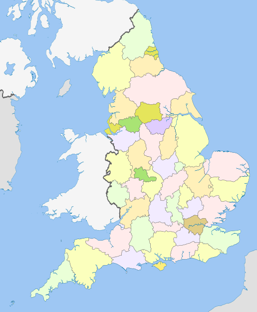
This isn't the best map, but it shows how it is actually divided into four counties now: East, West, North and South Yorkshire, and has been since the Local Government Act 1972, which redrew quite a few county boundaries.
I recognise that this doesn't answer your question about why it's such a big area under the same name, and I'm not sure if it violates the rules because of that, but I felt it needed to be pointed out.