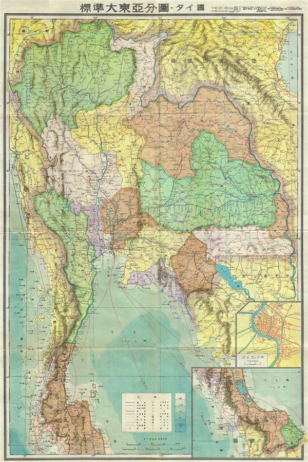
I've seen maps from WW2 like these one:
http://www.geographicus.com/mm5/graphics/00000001/L/Thailand-japanese-1943.jpg
And I'm curious how there were so accurate on sea, AND land. I've seen this question, but I can't find a good answer...
The usual answer to this surprisingly common inquiry is to explain that latitude can easily be determined on a clear day by checking the position of the sun above the horizon at noon, or the moon's relation to a star. And longitude can be determined simply using a precise clock, or some other, more complex methods. I sometimes explain it to grade-schoolers like this: if you set your clock to London time when you sailed westward, a few weeks later you would notice that the sun was directly overhead when your clock said 6 pm. You're a quarter-day off, and that means you are a quarter of the way around the earth, or 90ºW.
So if you have a goodly number of latitude-longitude observations for various points along a shoreline, you can sketch the parts in between quite accurately—supplemented by taking bearings of the coastline (for instance, noting that a particular mountain or headlands is due east of you when you're at a known point). A 19th century atlas will show the Iberian peninsula almost as accurately as a satellite image. Coastlines were visited frequently by folks who could move about easily, could see long distances, had the skills to record latitude & longitude—and who had a vital interest in knowing exactly where they were.
Mapping of the interior areas was substantially more difficult, and didn't take place until the early 1800s for Western Europe, and decades later in other places. For large-scale mapping, you can use triangulation to very accurate create a network of known points scattered across an entire nation, and this was well under way in many European nations by the 19th century. From those, often mountain peaks or other things visible from a distance, you can use simple compass bearings to fill in the spaces in between with a little less accuracy but much greater speed. The development of inexpensive fast film on a plastic base made aerial photography relatively cheap and easy by the 1930s, and use of stereophotography (invented around 1901) allowed elevations to be determined from those aerial photos.
By the mid-20th century, the colonial powers (and even the National Geographic Society) had done a lot of small- and medium-scale mapping of areas under their control, and these had been shared and were in libraries around the world. So cartographers on both sides had basic sources to begin with, but military forces found nasty surprises on the ground in lots of interior jungle areas. In areas where they had control of the air, they flew aerial photography and cartographers behind the lines worked feverishly to produce the maps needed for operational use.