A central idea in the study of Chinese history is it's isolation from the world. The Himalayas to the west, the Pacific Ocean to the east and southeast, and The Great Wall and the relatively unpopulated steppes to the North. Most sources I have encountered point to the Yumen Pass, steppe Nomads, and seafarers as China's three major contacts with the rest of the world. However, if you look at [a map] (http://media.web.britannica.com/eb-media/88/89888-004-57AD3D2F.gif) of the Himalayas and China, you can see that there is a large swath of land to the south, including but not limited to present day Bangladesh, Burma, and Thailand, that is not part of the mountain range. Regarding the contact between China and India, most notably the spread of Buddhism, everything I read claims that trade, physical or intellectual, between the two went from India into modern Pakistan and Afghanistan, up to Samarkand and Bukhara, through the Tarim Basin cities, and out the Jade Gate into China proper (or the other way around). Why is it that China had so little contact with the outside world from it's south/southwestern border?
Because it's mountains too. You need to cross two major moutain ranges to get from southern China to India. The ranges aren't as high as the Himalayas, but they're high enough. You need to consult a topographic map of the region.
Only Vietnam is open to China, and therefore was under heavy Chinese influence and was conquered and ruled by China several times. Other SE Asian kingdoms are isolated from China, so Indic influences are far more prevalent.
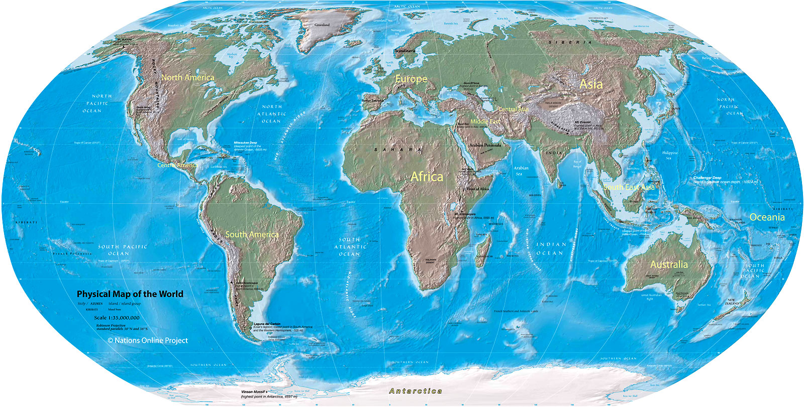
Allow me to add a better map: http://www.nationsonline.org/maps/physical_world_map_1600px.jpg
The Himalayas are followed by the Tibetan plateau, then the Kunlun Shan. It is a huge region without any easy way to go across.