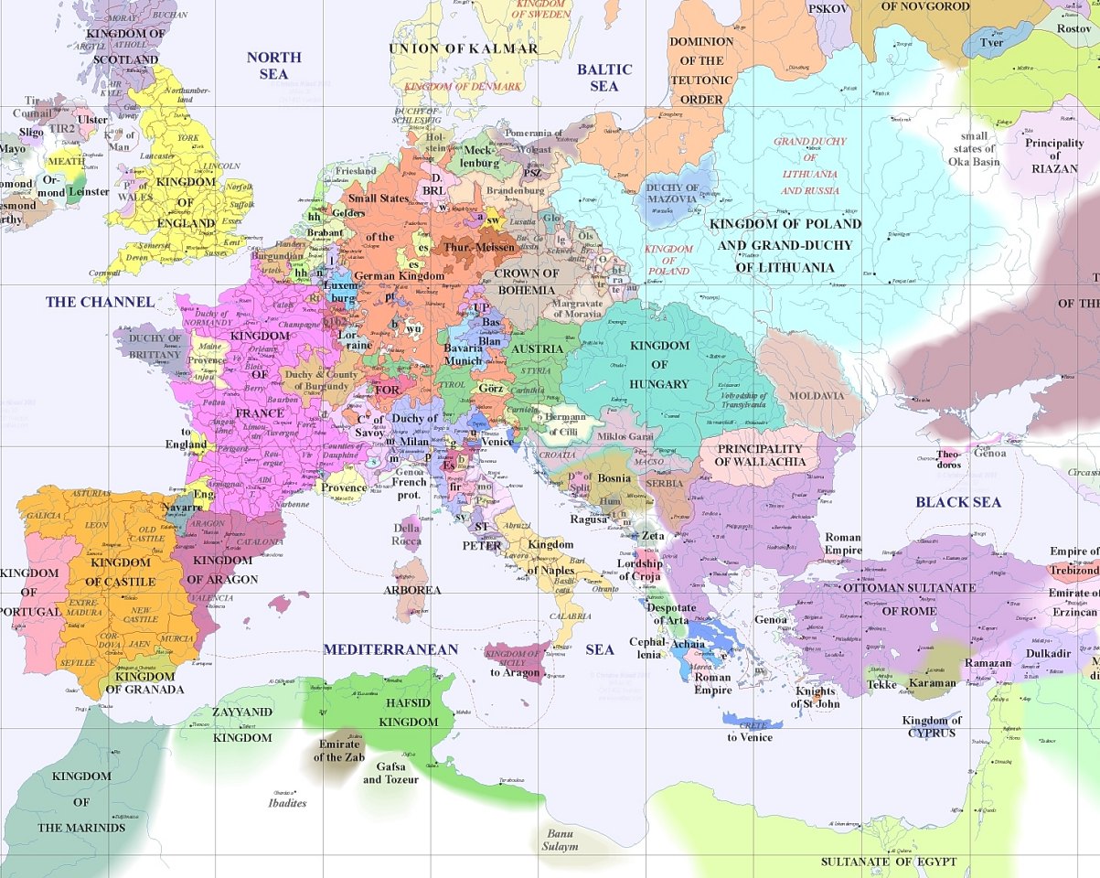
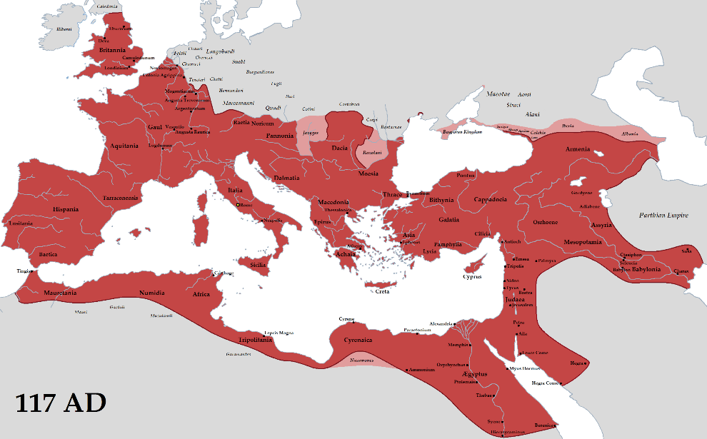
I just saw this map of Europe in 1400 on /r/mapporn. Compared to the Roman Empire, it seems incredibly fragmented.
Are there any socioeconomic or technological reasons that cause post-Roman Europe to be so fragmented? Why was Europe able to be united in one country in the first century, but not in the fourteenth century?
That map does not really look right. Southwest from the Kingdom of Hungary it shows a "country" called Hermann of Celje. Well, that was this guy: http://en.wikipedia.org/wiki/Hermann_II_of_Celje
The point is, that wasn't a country. This was a man. Herrmann was an Austrian count, who own plenty of land in German-Roman Empire and in the Kingdom of Hungary. He was a vassal of, on the Hungarian side, King Sigismund, and on the Austrian side, as vassal of the Habsburgs: http://en.wikipedia.org/wiki/Count_of_Celje
So it was simply the lands that happened to be owned by a count, nothing more really.
Anyway, my point is that that the map has way too many borders, it does not show what is a independent kingdom, what is not, although I admit that it would be difficult to show it, as the transnational lines of vassalhood did not mean cultural unity. It is sometimes meaningful to show the borders of a territory that is not independent in vassalhood but has its own culture. But for example these lands had neither their own cultural character nor independence.
So I have no idea why the author thought ol' Hermann is a country now.
(Source: a monograph about King Sigismund, published in Hungarian as Tört Királytükör, by László Passuth).