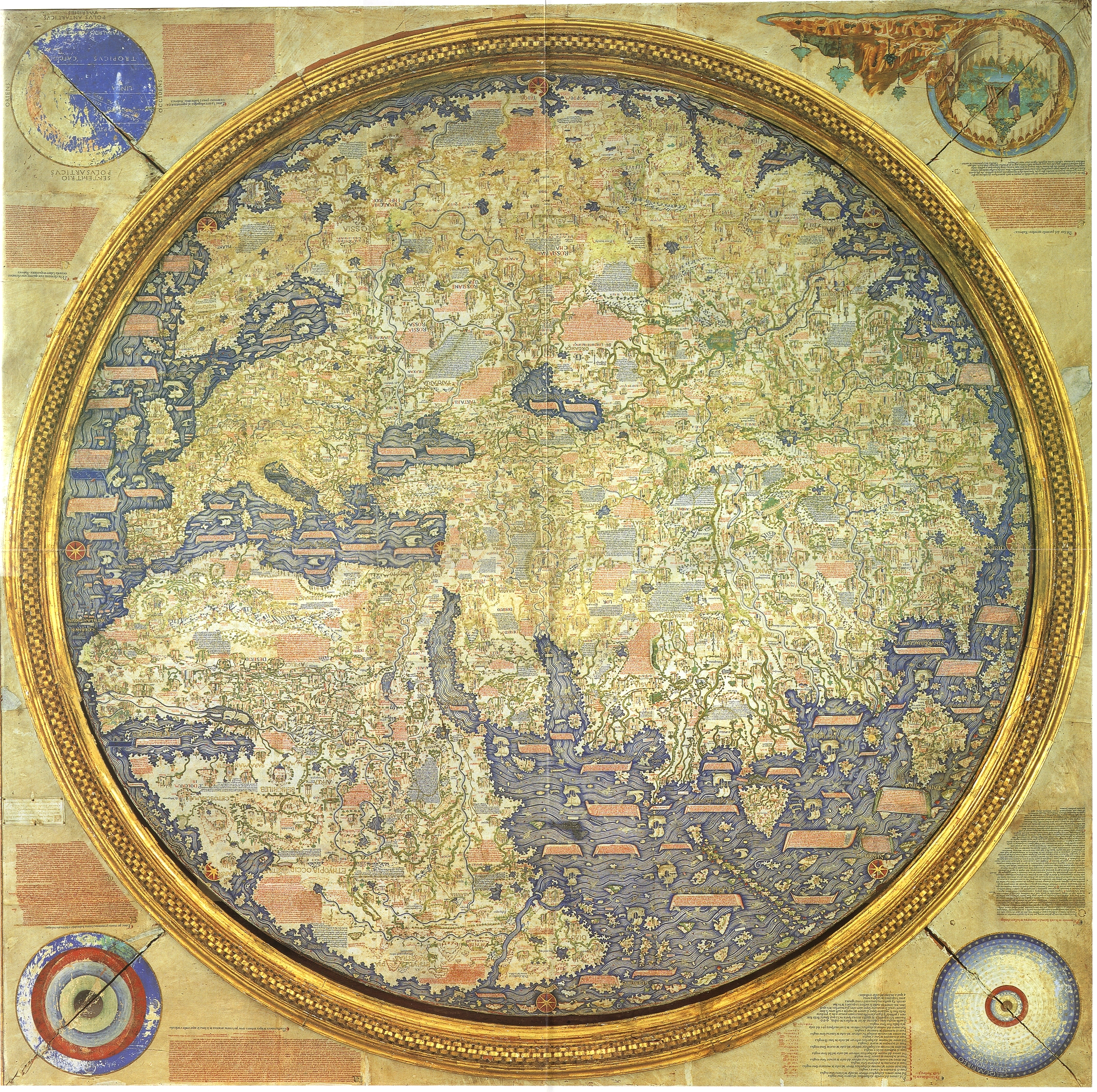
Renaissance maps such as the Fra Mauro map
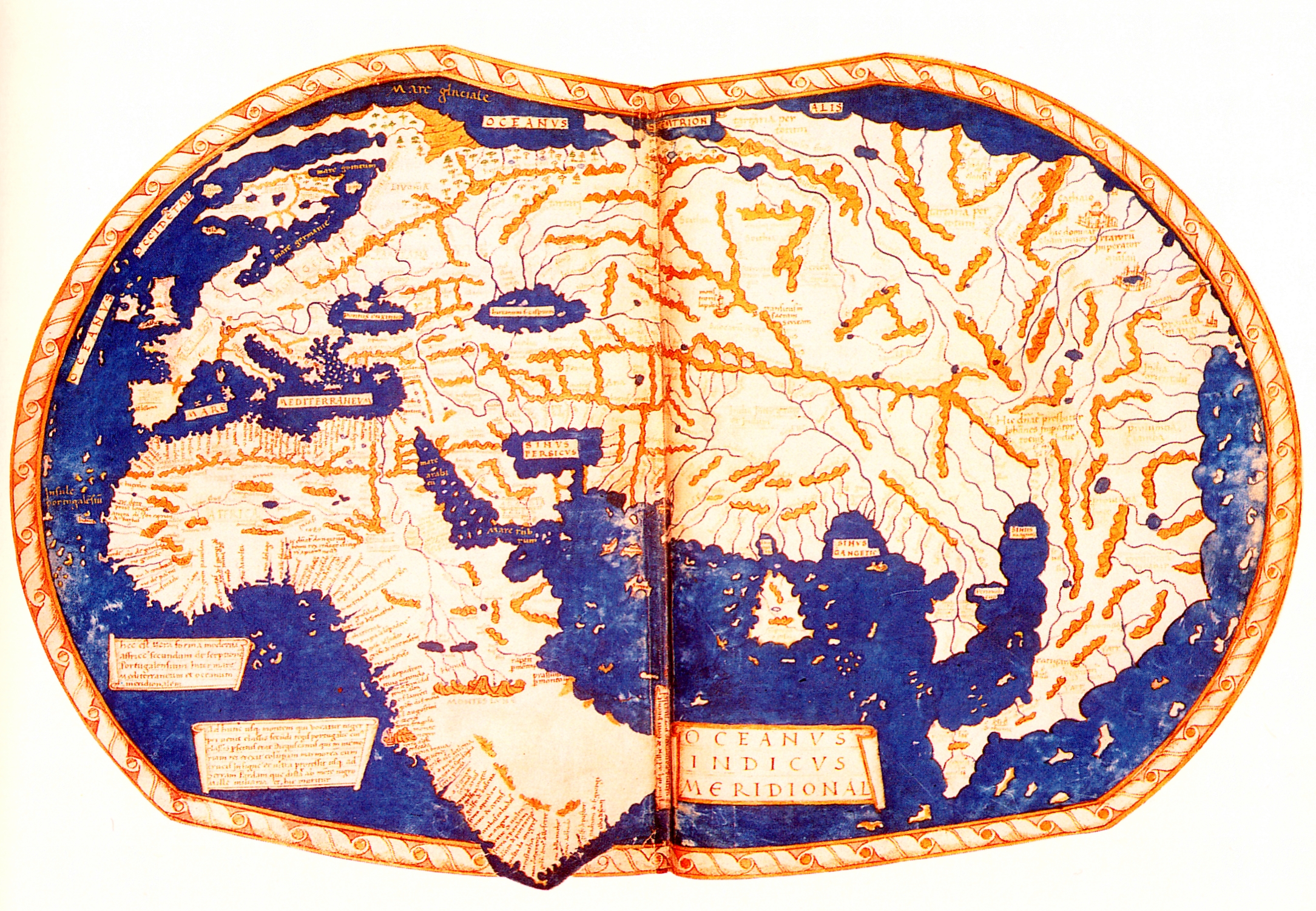
or the [Martellus world map] (http://upload.wikimedia.org/wikipedia/commons/4/4d/Martellus_world_map.jpg)
as well as some others from that time show India as an Island. What's the origin of this because surely Europeans and Merchants must have visited these areas before by that time and seen that India isn't an Island. On another Map-related note, Why are they also so bad at drawing Scandinavia?
It isn't India. These maps were built on the data given in Ptolemy's Geography, a world atlas from the 2nd century for which the maps themselves don't survive, but we do have his enormous catalogue of locations with latitude and longitude. Ptolemy called this island Taprobanē; and what he calls "India" is to the north and north-east of that island. In your second link you can see the "Gulf of the Ganges", or "sinus Gangeticus", marked to the north-east. Ptolemy's data for regions east of Persia was, obviously, not very accurate.
For interest, here's an interactive map based solely on Ptolemy's work without any later corrections.
Edit minor typo.
I cant read the names on those maps, but that island looks a lot more like Sri Lanka than India. And supposing that its therefore India above it then its easier to perceive that Indias just not drawn 'pointy' enough, but Sri Lanka is the island below it. I now see that rosemary point out that Taprobane is the islands name and that Sri Lanka MAY be what its meant to represent.