the little red bit on alameda island. I checked and found it a few other places so it's not just google. Why is this?
This Google Maps appears to be based on Zip Codes. Here is a map that shows the Zip Code border of San Francisco County, and it is based on the Google Maps info:
http://www.zipmap.net/California/San_Francisco_County.htm
However, the section of Alemeda Island that is marked as being in San Francisco County is not shown on the official map of the city and county by the government of San Francisco:
http://www.sfgov2.org/ftp/uploadedfiles/elections/PrecinctServices/maps/2012/Citywide_8-12.pdf
You'll notice a very similar map to the first one posted in the top left corner, and it doesn't touch Alemeda Island.
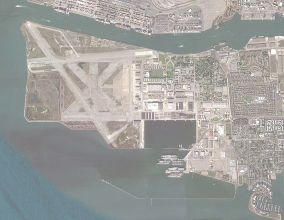
The section on Google Maps that is shown as being part of San Francisco is uninhabited. Indeed, it is a section I believe that is being reclaimed from the sea. I would guess that the Google Maps map of San Francisco County is just slightly off in this regard, as the section of the island it crosses it's line through is very small indeed.
EDIT: Here's a comparison map between today and WW2:
https://s3-eu-west-1.amazonaws.com/infogram-particles-700/thealamedan_1368730934.jpg
http://upload.wikimedia.org/wikipedia/commons/d/da/NAS_Alameda_NAN2_47.jpg
The section in question is on the left of the photo on the top, and on the bottom right in the second photo. You'll notice that it the Island expanded about 500 metres into the ocean, I assume from dredging material from San Francisco Bay. The expanded area cuts into the line you see on the google maps image.