For background info and a picture of the map: https://en.wikipedia.org/wiki/Da_Ming_Hun_Yi_Tu
The description of the image in question identifies them as paper slips, added later as a mean to provide captions for the map. The actual map is enormous - something like 12.5x15 feet in size - so there's plenty of room on those small slips to identify things.
The other commenter is basically correct. Just to expand on that:
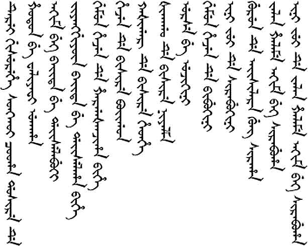
They are indeed labels, but they're labels to basically change the language of the map. The original map was done in Chinese. However, later on, these labels were added to basically make it be in Manchu. You can see this more clearly in closeups where the Manchu labels are visible. Even if you can't read Manchu (which I assume is pretty much everyone here), you should be able to see quite clearly that that is not written Chinese any more.
You can check out slightly more zoomed-in photos on this page (sorry it's all in Mandarin but still, pictures). Also here and here.
And just for the sake of example, here's what Manchu script otherwise looks like