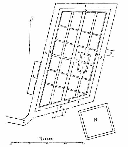
A little niche, I know, but I've recently been travelling in Japan, and was surprised to see that the current capital Tokyo is built on a random mess of curvy streets, while the ancient capital of Kyoto is a grid, which I always thought was a very modern innovation of city planning. If Kyoto is one of Japan's oldest cities (dating back to at least 794 AD), why is it structured like this compared to the more scattershot Toyko, which only really developed into a city from 1869 onwards?
Edit: Woah thank you guys for all the excellent information!
Whether a city has a grid or a more organic structure mostly depends on it's origins and not it's age. Cities which were created spontaneously (settlement near a trading route, expanded from villages surrounding forts etc.) will have a more organic "curvy" street network, while cities which were planned in some way will have a grid because it is a simple and logical way to divide the land.
Cities with a grid have existed from way back, as I said, it's the easiest way to plan a city or a part of it, if it is being built from ground up. There were settlements with orthogonal grids since 1000 BC, like Terramara of castellazo di fontanellato in Italy or Zernaki Tepe in Turkey, so it's not a modern invention in any way.
The grid is a very natural development when you are trying to arrange space, and is one of the oldest city layouts there is. I don't think I would consider it a modern innovation though it has taken many many forms over the years and never often realised as true fully rectilinear blocks. There are many advantages of a grid system, for instance long straight streets are easier to defend militarily. Ancient civilisations that are built along rivers would have two important directions for dividing arable land - going along the river, and going towards and away from the river. In the particular case of the Nile we have the perpendicular direction also being the direction of the rising and setting sun. Herodotus mentions that Babylon has intersecting straight streets going parallel and perpendicular to the river, and these go back to the time of Hammurabi (~2000BC).
We see evidence of very simple urban grids in the Indus Valley and Mesopotamia. Later we would have more specific grid arrangements of sacred, public and private life becoming more popular, especially for the Greeks who had plenty of opportunity to rebuild the cities that had been destroyed during the Persian wars. Aristotle praised the grid patterns of the Athenian ports designed by Hippodamus that actually used the grid concept to demarcate different spaces for different things, and these would influence Alexander the Great and the Romans who would take these ideas with them when they spread out from Britain to Gaul to Persia. The gridded legionary camps the Romans would set up would later inspire the layouts of new cities.
I am not a historian but my thesis was on the topology and development of urban settlements. My main source for this comment is the excellent 'The City Shaped' by Spiro Kostof which has an exhaustive history of the organic city and the grid city.
Another question: were grid-type cities the most common in terms of shapes, or are there other notable cities with planning involved but with different shapes? (Triangles, hexagons?)
I think I saw this somewhat addressed somewhere in the comments, but just wanted to provide some input.
Planned city building is not a modern invention. We have ancient Indus Valley cities that have very clearly defined districts as well as the Romans building almost if not all of their cities outside of Rome itself in a template for a city. I believe the Hellenistic period (and Alexander the Great) also had planned city layouts. I believe the Egyptians also did this, but unlike the other examples I gave this something I would not be able to back up with a source. Just a very educated guess considering the Egyptians have proved in other ventures that they often planned building structures. Due to the sandy environment, they would clear down to bedrock to build structures and would place foundation pits in the corners of their buildings. So the Egyptian bit is more speculation on my end which is against the rules of the sub, however I do have a very well educated rationale for it which is why I posted it - think it's a bit more than speculation due to that. For the Hellenistic period - I know the famous Alexandria was built with a planned layout and I'm fairly certain the other 11 were as well. Antioch was also built with a planned layout. Romans I believe it's pretty widely known that they built cities with a planned layout based and I believe it was based off of their military camps that they built each day when in the field.