Hello!
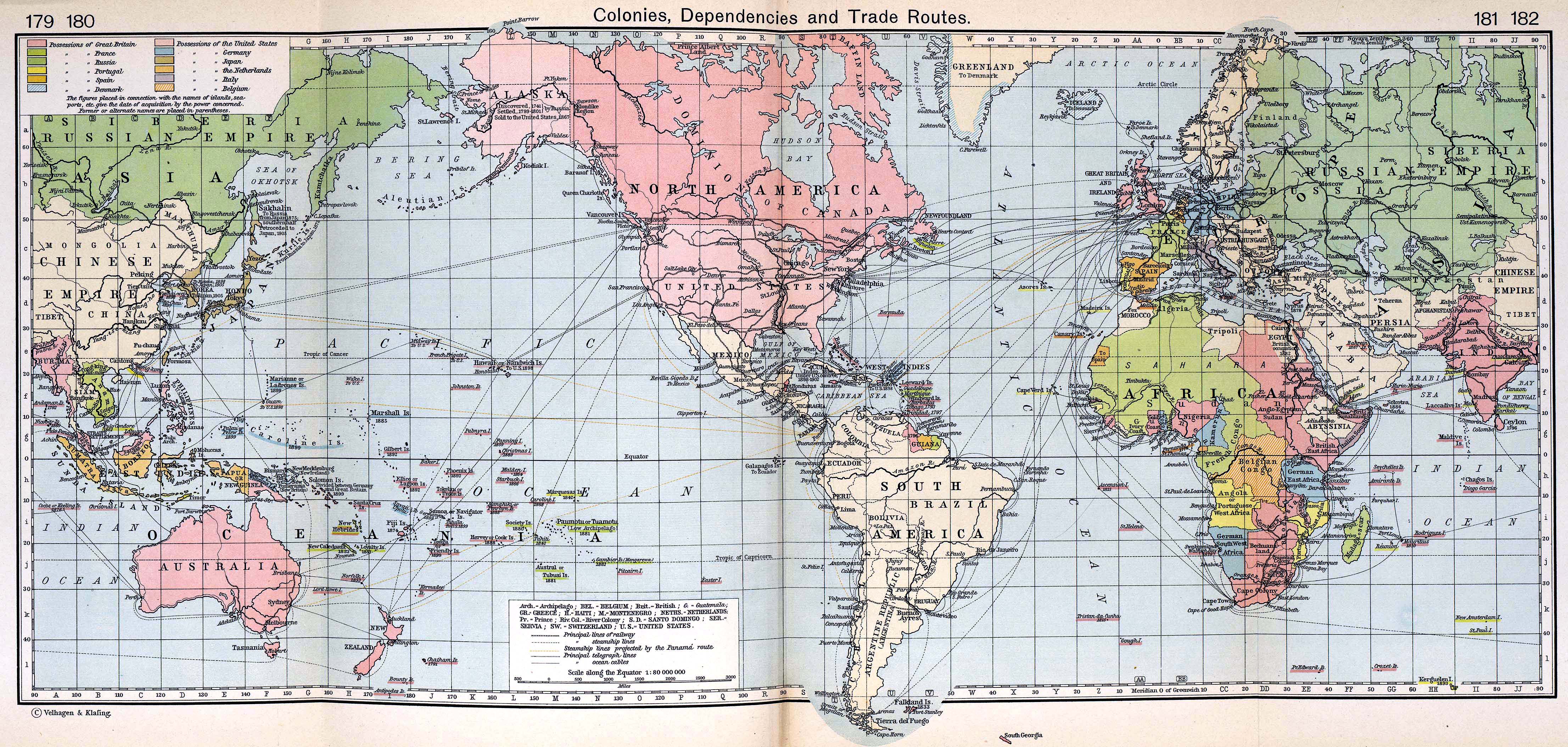
So I'm currently working on a boardgame set in the 19th century. The universe I've created is an alternate version of the 19th century but except from that I want to use an accurate map from this time as my "base starting point". I've looked at maps from worldmapsonline, I've watched a couple of videos but it's really hard to find a whole world map that shows the exact borders and the exact name of the different empires/countries.
http://www.britishempire.co.uk/images3/worldmap1911.jpg
I guess this is the closest map I've found that is somewhat what I'm looking for. (but I don't know what time this got published but I suppose it is sometime before 1922 seeing how the ottoman empire is there). The main problem is that I can't seem to find a detailed enough map that shows the whole world with different borders etc that is during the same timeline (sorry if my explanation is a bit hard to grasp)
E.g I find one map published of America in 1875 and I find one map of Europe published in 1807. The historical accuracy would be to big seeing as it happens quite alot between 1807 and 1875 And if my gameboard would have the eastern hemisphere drawn after 1807 and the western hemisphere after 1875 it would bug me to the worlds end even though this is an alternate universe.
Tl;dr I need a really detailed accurate world map depicting the world in the 19th century. You don't need to give me the direct answer but I think I need to get pointed in the right direction since whatever I google I end up empty.
Not sure how accurate it is (I know there are several mistakes in earlier times), but geocron.com is pretty neat. Euratlas.net is another good site, albiet I only kniw of their European maps. Sadly, they are only in 100 year increments.