This is half answer and half follow-up question...
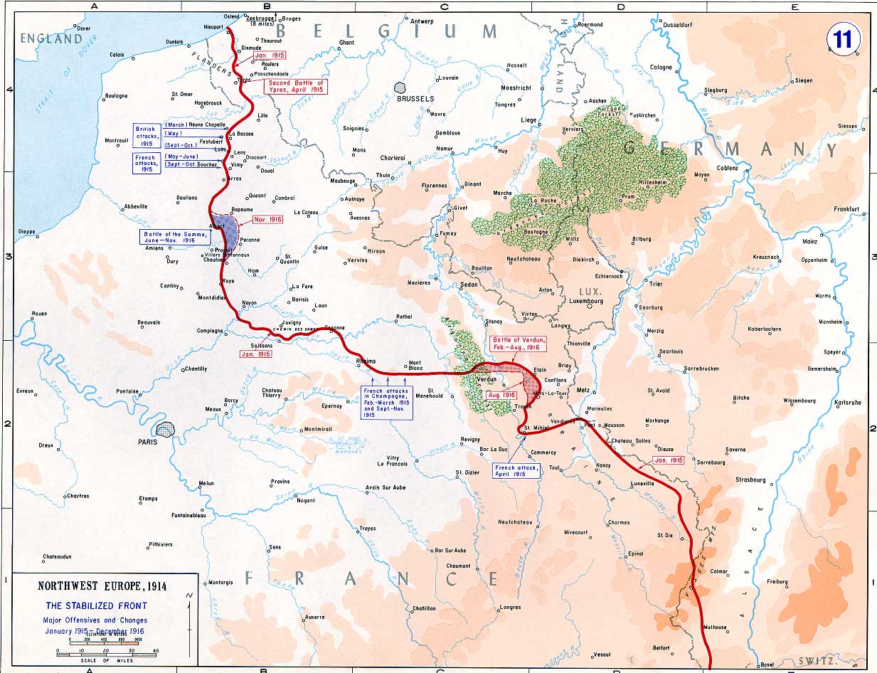
First of all, trenches were heavily interconnected and extended quite a distance behind the front as you can see on this map (here's a detail). I'm not sure exactly where the empty rectangular areas come from but they're clearly survey artefacts rather than areas without trenches. What you can't very well see on that map is that the front line often ran almost perpendicular to rivers. So the obvious answer is no, you can't stay in the trenches all the time; you'll have to cross bridges, and quite a lot of them in fact. Also, trenches could collapse or become blocked for various reasons including direct artillery hits, heavy rain, abandoned tanks, etc. and then there was that war going on. Apart from all that, however, there seems to have been little impediment to your stroll along the front line.
This brings me to the follow-up question: How did trenches where the front line crossed a river actually look? I've been looking at plans on WorldWar1.com but the only thing I can tell is that trenches generally continued on the other side of the river in almost the same spot. I can't find any photos of trench lines perpendicular to rivers, either. So how close to the river were trenches generally dug? And were there any successful advances that exploited the gap between a river and the adjacent trenches?
Some good answers to a previous question here. Short answer: no way, there were lots of natural obstacles like rivers, canals and marshes that prevented the lines from being one continuous trench.