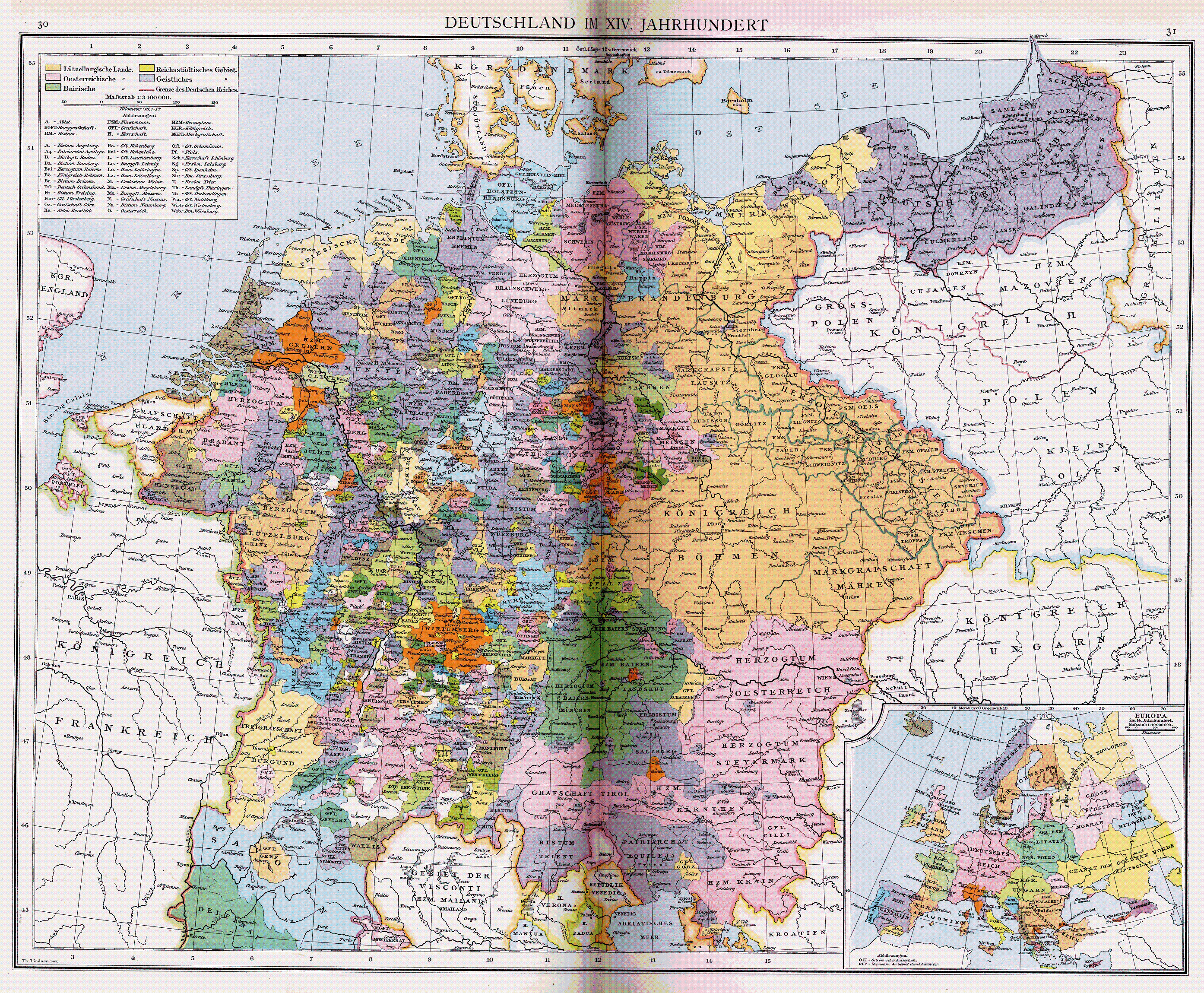
When you look for maps of the Holy Roman Empire, even the most detailed ones such as these: 1, 2, 3 show numerous white spots. And that even though the scale allows the display of the smallest Free Imperial Cities and there are significant settlements in those regions (e.g. Schleiden, Gerolstein, Limburg, Rheda-Wiedenbrück, Engen, Ilanz...) of which the history is in principle known.
So what's the deal with this manner of representation? Are these territories really to small to display? Are those disputed areas? Did they have an unclear status? Is it historically just not known?
These areas are labeled on both the first and second maps, so we can understand the third map to follow the same idea.
The first map has a note below the key stating "Ungeordnete kleine Gebiete sind weiß gelassen" which means "Insignificant small territories were left white."
The second map labels them "nicht darstellbare Kleinstterritorien" which means "non-representable small territories."
The third map doesn't label them, but it will be the same. These are small holdings that are either historically (politically and/or temporally) insignificant or are too small to put on the map.