Regrettably I am ignorant on the history of map-making.
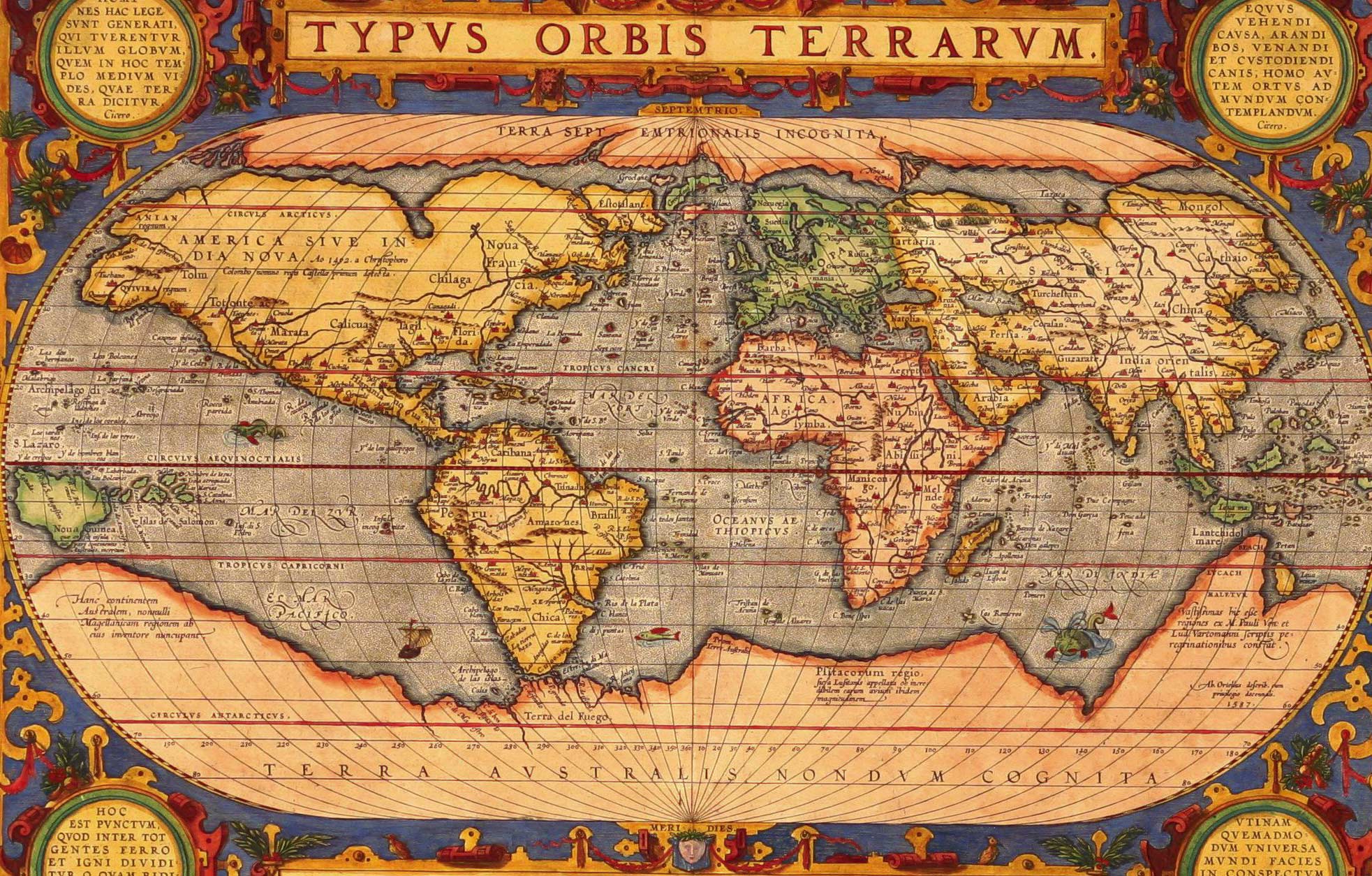
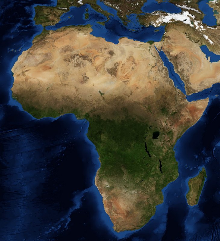
My example is this map, from 1587. Many areas are blown out of proportion and not accurate, but many of the continents are still recognisable to some degree. Without the labelling you could still identify Africa, because it looks somewhat similar to pictures of Africa taken from satellites recently. Even the Americas look recognisable despite North America being drawn extremely wide and South America being thicker than it actually is.
Without a map or GPS, I would have no knowledge of what my country looks like from space. How were cartographers of a world without GPS and space travel able to do this?
Hiya OP, not discouraging anyone else from jumping in here, but just FYI, we have a bunch of threads in the FAQ on map-making ("cartography") through the ages. Check 'em out - they're roughly in chronological order, so you can get an idea of how various methods evolved.
These threads are all archived by now, so if you have follow-up questions for any of the users, just post them here and tag their username to notify them.
In principle, if you can't see a shape directly with your own eyes, you must rely on math to visualize it. You need data, which consists of angles and distances, which you then use to mathematically deduce the shape. The collection of such data is called surveying and the branch of math used to manipulate the data is called trigonometry.
The history of accurate map making, therefore, parallels the history of trigonometry. I say "accurate" because that's not always a feature of maps. There are plenty of medieval maps with Jerusalem at the center, distorted land masses, dragons at the margins. Such maps were symbolic, not meant to be accurate.
The need for accuracy was a requirement of navigation, so that's what accurate maps were designed for, and there you can sort of follow along the progress by correlating with progress in math (trigonometry) and data (tools of surveying, mainly sextant and chronometer).
Historically, early geographers and map makers were trigonometry innovators. Hipparchos of Nicea, Ptolemy from Rome. Aryabhatta from India- all published trigonometric tables. Our modern system of sines and cosines goes back to Aryabhatta in India. All these folks made maps, which were pretty decent considering the poor data they had to work with.
The big changes came with the voyages of exploration, when suddenly data started pouring in. All these ships carried logs, where each day's data (latitude, longitude when available, local conditions, land sightings) were meticulously recorded. The map you linked is the direct result of all those ships logs, carefully plotted by someone on a 2D grid.
Two other major improvements that changed map making were the invention of the ship chronometer and the Mercator projection. A clock is needed to determine longitude (by timing the rising and setting of sun and stars), but pendulum clocks don't work well on moving ships. It took the invention of the balance spring to produce a satisfactory ships chronometer. The Mercator projection enabled map makers to create maps where directions could be accurately represented (a tough problem when drawing a 3D earth on 2D paper), though at the expense of accuracy of shapes.