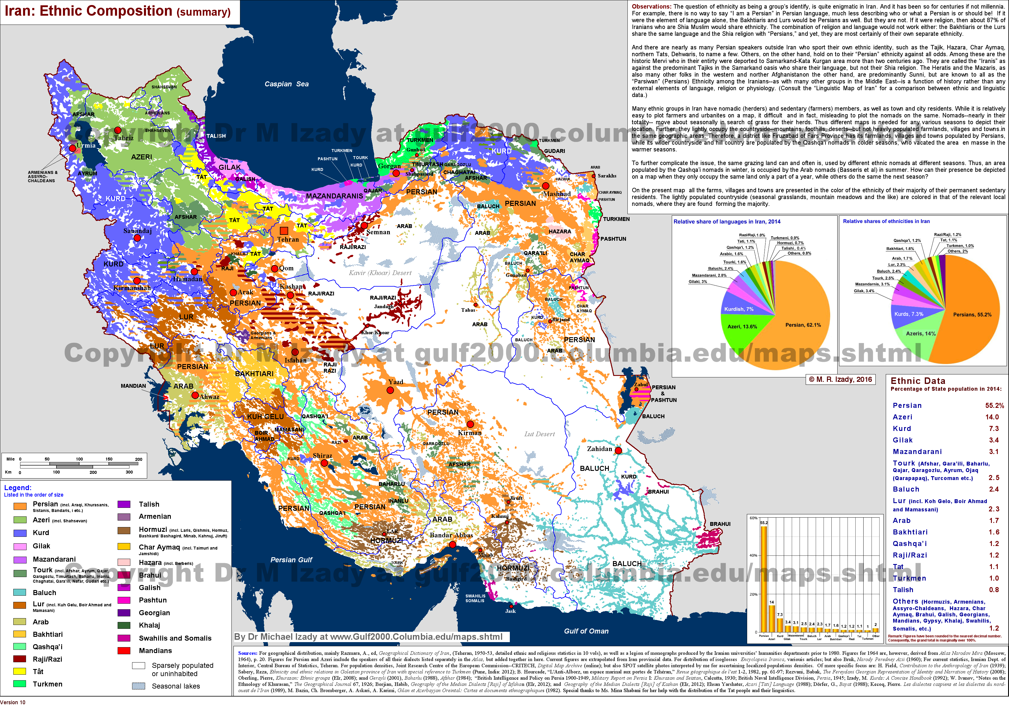
Not an area of specialty for me, but, in short, they were relocated there. Either forcibly to disperse them or as part of a policy of border defense over the course of a few centuries:
See for instance this and the preceding page of the Cambridge History of Iran: https://books.google.com/books?id=H20Xt157iYUC&lpg=PA27&dq=kurds%20khurasan%20iran%20relocate&pg=PA509#v=onepage&q&f=false
Also, just as a word of caution, it's worth being skeptical about any ethnic maps of the Middle East that you've come across. Some of the most widely spread ethno/religious/linguistic maps of the Middle East, such as this one of Iran from the Columbia Gulf 2000 project, are using very old data. If you check the sources on this map, most of it comes from a 1964 Soviet ethnic atlas. If you were to check that Atlas, I would not at all be surprised if it was in turn using data that was itself decades old.
Because the fragility of nationalism across much of the region, very few countries in the Middle East carry out regular censuses. Instead, most countries have very round but highly suspect ethno/religious/linguistic population figures, like Egypt's "90% Muslim 10% Coptic" or perhaps most famously the demographics of Lebanon, which are basically just a convenient political consensus.