I was looking at a map of the Roman Empire and what struck me was the fact that the borders seem so precisely defined. But remember, there were no accurate maps, no GPS, no satellites to provide people in those times with detailed images of the Earth. How accurately marked were borders ? How were they marked in desert, jungle or other sparsely inhabited areas? What happened when two neighboring states had "overlapping" borders, due to their inexact definition?
There were no precise "borders" anywhere in the ancient world, and even when something approaching a "border" existed (usually a natural feature like a mountain range, or less commonly a man-made structure like China's northern walls or the various limes in the Roman Empire), these "borders" didn't have the same significance that modern political boundaries have. In order to understand this better, we need to understand how concepts of political space have changed over the centuries.
The modern world is characterized by the concept of territorial sovereignty, by which we mean the idea that all territory should be ruled by a centralized government that has supreme, absolute, and exclusive authority over that piece of territory. A defined piece of territory ruled by such a government is called a sovereign state. The modern system of territorial sovereignty (which historians usually date as originating in 1648 with the Peace of Westphalia, hence the terms "Westphalian nation-state" and "Westphalian sovereignty") has several important implications, including the abhorrence of overlapping sovereingties: any given piece of territory can belong to a single state (like how Catalonia belongs to Spain) or to no state (like Antarctica, or more controversially, Australia before the British colonization), but at no point can any given territory belong simultaneously to two or more states (e.g. Crimea cannot simultaneously belong to Ukraine and Russia; it has to belong to either Ukraine, Russia, or some other state, and only to that state). Such a reality may seem "obvious" to us now, but for the vast majority of human history this was not "obvious" at all. It was only after the 19th century, with European colonization of virtually the entire globe and the internationalization of Western norms, that the concept of Westphalian territorial sovereignty became universal.
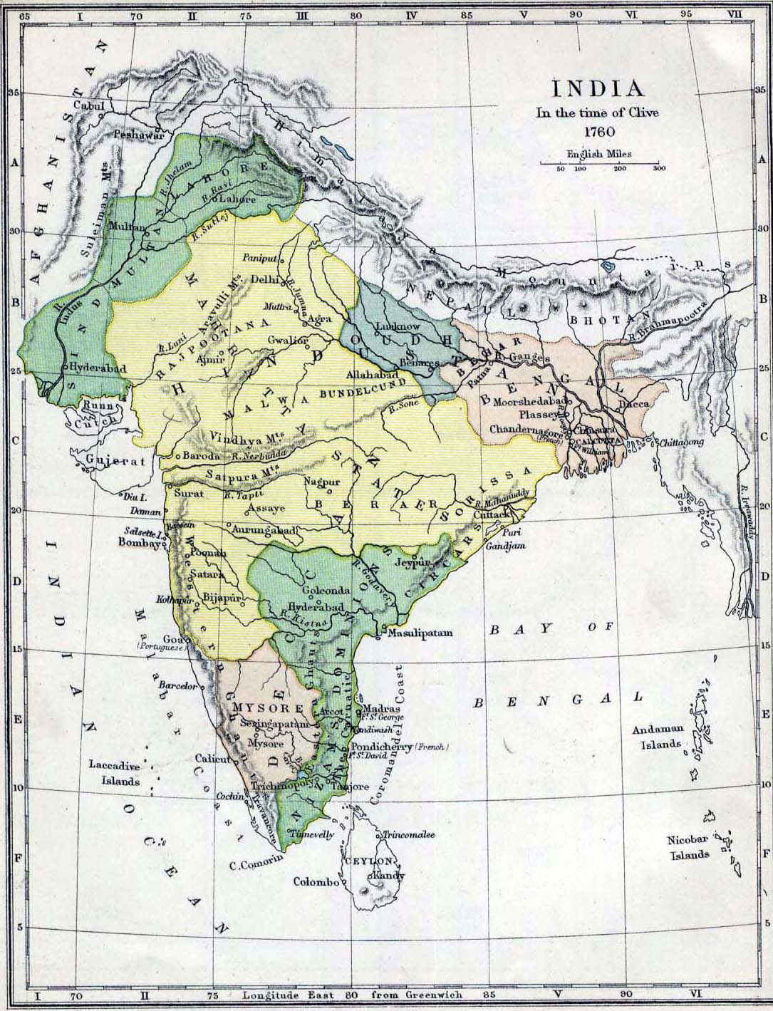
What does all this have to do with borders? Well, the modern geopolitical system that we live in demands clearly defined borders, because we live in a system predicated on discrete nation-states characterized by supreme, absolute, and exclusive sovereignty over their own territory, as explained above. You can't have such a system without borders, because without borders there can be no differentiation between sovereign states. In pre-modern times, however, the conception of "sovereignty" was very different from our own. The Romans, Ottomans, Chinese, and other imperial civilizations/states didn't see the world as composed of discrete nations whose "sovereignty" they had to respect; rather, they perceived of themselves as "universal empires" who possessed (as far as they were concerned) the only legitimate right to rule the earth. When the Romans constructed Hadrian's Wall in northern Britain, or when the Chinese built the Great Wall on their northern frontier, they weren't "delimiting" their empire as much as providing security to their subjects and restricting movements of unruly peoples (which is not the same thing). The Romans exercised authority beyond Hadrian's Wall, and likewise, the Chinese Emperor's writ didn't just stop at the northern fortifications. At the same time, you could have cases where certain territories or principalities paid taxes simultaneously to multiple different empires or states, who all regarded that same territory to be under their "sovereignty." To use an example from my undergraduate history thesis (which I wrote on 18th century South India), the principality of Venkatagiri in modern-day Andhra Pradesh simultaneously paid peshkash (tribute) to the Nizams of Hyderabad, the Marathas of Pune, and the Nawabs of Arcot, all of whom considered Venkatagiri to be their "vassal." The maps that purport to depict this period of Indian history often resort to extreme oversimplification, like this one.
So to answer your question, the borders of ancient empires like Rome weren't marked, because they had no recognized borders. They had military fortifications in frontier regions, which we modern people look to as "borders" because we expect all states to have defined borders. I know this probably wasn't the answer you were looking for, but the political configuration of the ancient world was so different from our own that we can't take anything for granted (not even something as seemingly obvious as territorial borders). Modern borders are the result of increasing European proficiency in cartography during modern times, combined with political developments that necessitated the drawing of increasingly precise boundaries.