In short not likely.
Beyond the issues of the tea, bags, and wooden crates breaking down over time. The area where the ships were has been filled in as part of the radical changes in the Boston coast since 1773.
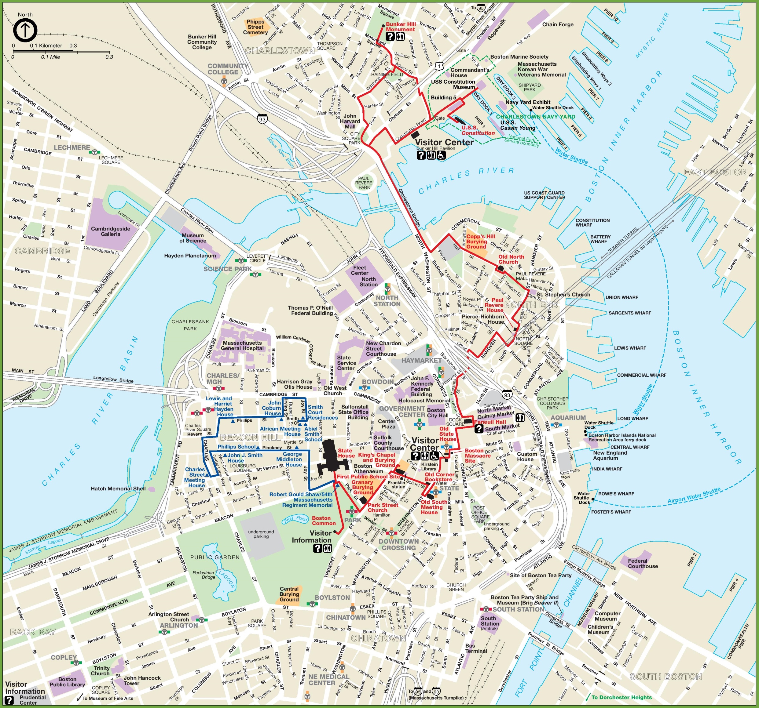
To start the ships the crowd descended on are said to have been tied up to 'Griffins' Wharf. But the position of said Wharf is actually a bit of a debate! Here are two maps published in 1776 and 1775, which put Griffin's Wharf in two separate locations some distance from each other, on either side of Fort Hill and the Southern battery. The National Park Service, and most other sources have gone with the more Westerly option, near the modern intersection of Congress and Atlantic Ave in Boston.
But in either location it would eventually have been dredged and filled in over time. Now instead of an isolated peninsula connected to the rest of the mainland by a small neck, the city has grown pretty wide, the area where the ships were and towards Dorchester Heights is now most of South Boston and the Fort Point neighborhood. There is however a small channel there still(the Fort Point Channel) which has the Tea Party Museum built on a pier off of the Congress Street bridge, they do have some artifacts including a chest recovered from the event, and some replica sailing ships.
In trying to find some of the old maps I actually stumbled across this fine blog site that has the relevant parts of them and established the places they dont agree. And in the end comes to the conclusion that the current marked location, included on the modern map I linked is near but slightly away from where the location was. The wharf changed shape as many do over the years with new construction and at some point seems to have changed names to Liverpool Wharf, this being sufficiently known and common knowledge to even be mentioned by Hawthrone as the author notes. Either way, virtually every site that was examined has been subject to one land reclamation project or another since then.