The Western Coast of Sweden, adjacent to Skagerrak-Kattegat Strait(s) dividing the North and Baltic Seas, mainly comprises of two province (landkap), Bohuslän and Halland, and also, the westernmost tip of almost inland province Västergötaland (You are right, OP).
The first two provinces belonged respectively to Norway and to Denmark in Later Middle Ages, but Sweden got them from Denmark (-Norway) by two peace treaties in the 17th century, namely those of Brömsebro (1645) and Roskilde (1658), together with Skåne and Bornholm. Their changing belongings in 17th century were mainly the result of the rivalty between Denmark (-Norway) and Sweden over the control of the traffic between the North and Baltic Seas.
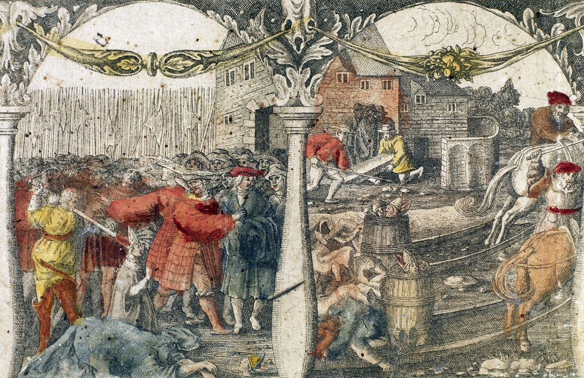
Do you remember the relationship between Denmark and Sweden around 1500? In later Middle Ages, Sweden was a part of the Kalmar Union, jointed dominion of the three Nordic kingdoms, governed by a king of Denmark. Some Swedish aritocrats rebelled against this reign of Danish monarch and his 'tyranny' like the massacre called 'the Stockholm Bloodbath' (1520), however, and chose Gustav Vasa, a leader of the rebellion as a new king of now independent Sweden. So, Denmark and Sweden were so to speak rivals in Early Modern Baltic.
In light of this historical background of the rivalty between the two Nordic kingdoms, the geo-political significances of these western coastal provinces for Sweden during that period are mainly twohold, and economy concerns both of them:
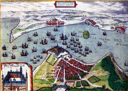
- The Logistics between the North and Baltic Seas: Of two competing Scandinavian kingdoms, Denmark has been (i.e. especially 'was') better located than Sweden, since the former occupied the bottleneck of the traffics between the North and Baltic Seas (See this map). [Added 2]: Note the fact that the right side of the Sound (Øresund - Öresund) in the map, Province Skåne also belonged to Denmark until 1658. The king of Denmark built Kronborg Castle in Helsingør by the Sound (Øresund - Öresund) (this paint was from 1588), and began to collect the toll from ships passing the Sound from 1429 to the 19th century. While this toll provided Denmark with wealth (as well as the researchers of Early Modern European economic history indispensable primary sources as toll registers), it was also great annoyance for newly independent kingdom of Sweden, whose economy relied on the trade of natural-mineral resources like iron and timber, and further, of the weapons with the Dutch merchants. So, while fighting against Denmark over the more free traffic, the king of Sweden tried to establish a direct exit to the North Sea without any intervention from Denmark. The foundation of Port City Göteborg (Gothenborg) in 1611 by King Gustav Adolf II of Sweden (his statue in the city plaza in Göteborg) must be considered in this context. [Added]: In 17th and 18th century, the port of Göteborg flourished as a trading port, also hosting the ships of SOIC: Svenska Ostindiska Companiet (Swedish East India Company) that made round-trip between Sweden and China with some exotic goods like porcelain, teas, and silk.
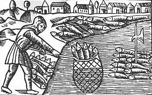
- The (herring) fishery as a key industry of these two provinces, and also, Skåne: The history of North-Baltic fishery has mainly been determined by the move of main fishing grounds in course of time. Province Skåne flourished in Later Middle Ages for its herring fishery and fish market, as attested by this 16th century wood cut, but the main fishing grounds were said to move northword into Kattegat, or to Provinces Bohuslän-Halland in course of 15th century. In short, the economic significance of these two coastal provinces became increasingly significant toward the end of the Middle Ages. The herrings had once gone in the 17th century, but they returned to the offshore of these provinces again in the end of the 18th and early 19th century, and the provinces thrived in canning industry as well as in fishery.
I come neither from Denmark nor Sweden, so, this outline should be very rough one. Please correct any mistakes found in the text above.
+++
References:
- Johannesson, Gösta. Skåne, Halland og Blekinge. Copenhagen: Politiken, 1981.
- Kirby, David & Merja-Liisa Hinkkanen. The Baltic and the North Seas. London-New York: Routledge, 2000.
[Edited]: fixes typo, and adds some paints/ maps.
[Edited 2]: fixes typo again (sorry). Adds the belonging of Skåne for easier understanding for non-Scandinavians.